839 steps.
That is the number the English pages leave out, and it is the one that decides how your afternoon goes. Every guide to this route describes Lũng Cú as a viewpoint you ride to. It is a viewpoint you climb to, at the end of a detour, on stone stairs, usually in the middle of the day.
None of which is a reason not to go. It is a reason to know before you set off.
The short version
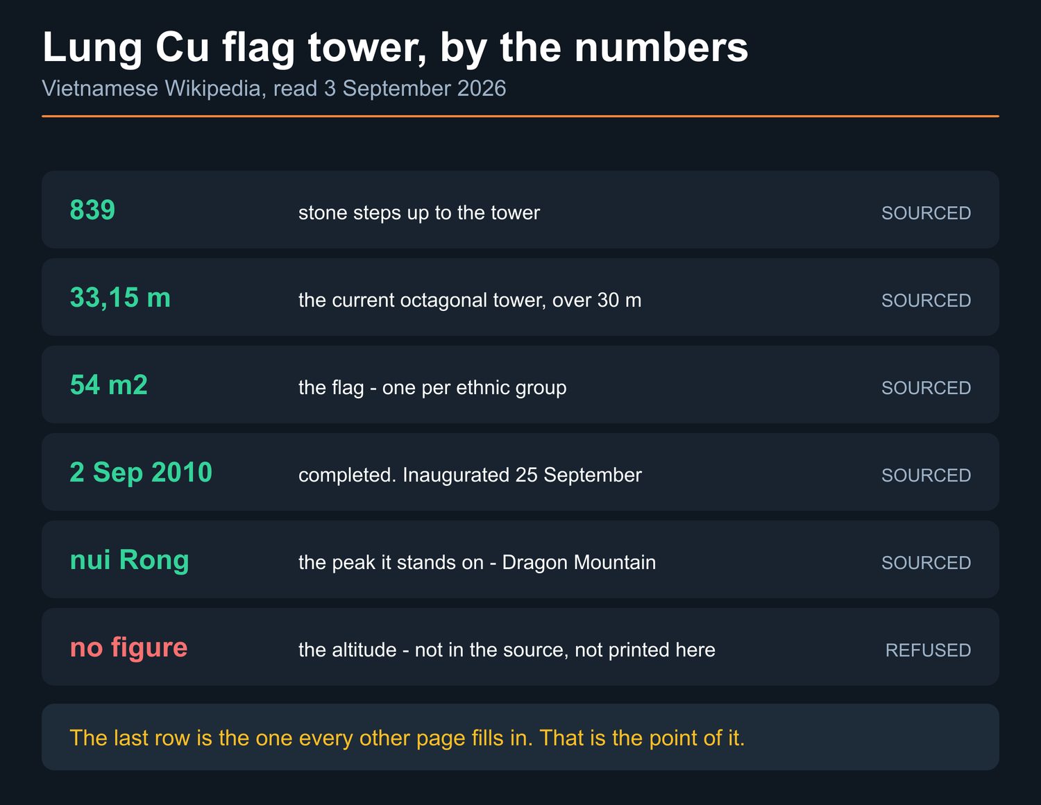
- 839 stone steps lead up to it — Vietnamese Wikipedia’s article on the tower, read 3 September 2026.
- The tower is the current one, not an old one. Work started 8 March 2010, it was finished on 2 September 2010 and inaugurated on 25 September. It is octagonal and stands over 30 metres, given in the same article as 33.15 m.
- The flag is 54 m², for the fifty-four ethnic groups.
- It sits on the peak called núi Rồng, Dragon Mountain.
- This page prints no altitude for it, and no decision number for its heritage listing. There is a section on why, and it is the same reason as on two other pages here.
What is actually up there
A flag tower, and the fact that you are as far north as the country goes.
The structure you will photograph is recent. Vietnamese Wikipedia’s article on it records that the upgrade was begun on 8 March 2010 and completed on 2 September 2010, with the inauguration on 25 September. It is octagonal, described as over 30 metres and given more precisely as 33.15 m. I read that page on 3 September 2026.
The flag itself is 54 m² — one square metre for each of the fifty-four ethnic groups. That is the detail worth carrying up the steps with you, because a flag that size does something at the top of a mountain that a photograph of it does not convey. In any wind at all you hear it before you are underneath it.
The peak is đỉnh Lũng Cú, also called núi Rồng — Dragon Mountain, or Long Sơn.
The steps, and who should think twice
839 steps is not a mountaineering problem. It is, though, a genuine physical thing at the end of a morning on a bike, and there are three groups it catches.
The rest of this section is my own, from taking groups up it rather than from the source.
Anyone riding with a knee or a back that is already complaining. Four days on a semi-automatic is its own kind of work, and stone stairs in the middle of it are the thing people regret rather than the riding.
Anyone on a tight day. The climb is not fast, and neither is the way down when your legs have gone. If the plan already has no slack in it, this is where the slack disappears.
Anyone doing it at midday in summer. There is no shade on stairs. Go early if the day allows it.
Everybody else: it is 839 steps and you will be fine, and the flag is worth the last hundred.
What this page does not print
Two things, and both refusals are deliberate.
An altitude. Search this and you will be handed a figure in metres for the peak. It is not in the article I read, and unsourced altitudes for this region are exactly the class of number this site red-lists — the same problem the Đồng Văn page takes a whole section to explain, and the same one the Quản Bạ page ran into. When I have one with a publisher and a date attached, it goes here with both.
The heritage decision number. The tower is widely reported to have been recognised as a national historic relic in November 2009. That date is not in the article I read, and I could not trace the decision to a government host, so it is reported rather than verified and it is not going on this page as a fact.

Does the detour earn itself?
For most riders, yes — once, and knowingly.
It is a spur rather than part of the circuit: you ride out to it and you ride back the same way. The route map page prices that in distance and in daylight and I am not going to restate its figures here. What I will say is the part that is not about kilometres.
The reason to go is not the view, which is good rather than the best on the trip. The reason is that it is an edge. You are standing at the point where the country stops, under a flag the size of a room, having climbed to it — and that is a different feeling from parking at a viewpoint, which is what most of the stops on this route are.
The reason to skip it is equally honest: it costs you time you may want at Mã Pí Lèng or on the Nho Quế, and if the weather has already eaten a half-day, this is the correct thing to drop. It is the one stop on the route I would cut first without feeling I had ruined anybody’s trip.
Common questions
How many steps are there at Lũng Cú flag tower?
839 stone steps up the hill to the tower, per Vietnamese Wikipedia’s article on it, read 3 September 2026. There are further stairs inside the tower itself.
How tall is the Lũng Cú flag tower?
The current octagonal tower is described as over 30 metres and given more precisely as 33.15 m in the same article. It was completed on 2 September 2010 and inaugurated on 25 September that year.
How big is the flag at Lũng Cú?
54 m², one square metre for each of Vietnam’s fifty-four ethnic groups.
How high is Lũng Cú?
This site does not publish an altitude for it. The figures in circulation are not in the source I read and cannot be traced to a publisher I am willing to name, and the section above explains why that matters more here than it might elsewhere.
Is Lũng Cú worth the detour?
Once, and knowingly. It is a spur out and back rather than part of the circuit, and it is the stop I would cut first if the weather had already taken a half-day. What it gives you that no other stop does is an edge — the point where the country stops, under a flag the size of a room, reached on foot.
Sources
- Vietnamese Wikipedia, Cột cờ Lũng Cú — vi.wikipedia.org. Read 3 September 2026. Source for the 839 steps, the tower height, the 2010 construction and inauguration dates, the 54 m² flag and the name of the peak.
What is mine, marked as mine where it appears: who the climb catches, when to do it, and the judgement that this is the stop to drop first if a day has gone. All of it is from taking groups up those steps, not from the source.
What is deliberately absent: an altitude and a heritage decision number, both for the reasons given in their own section; and the spur distance and what it costs in daylight, which belong to the route map page.
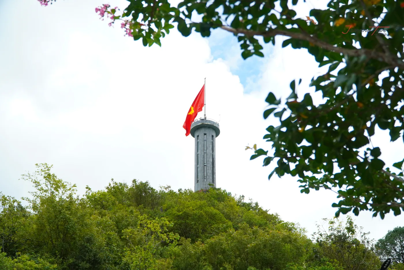
Photographs taken on our own trips; each caption carries its own date. A word about the first one. It shows a stone flag tower on a wooded hill and I believe it is this one — but our photo library carries no GPS, so that identification is my reading of the picture rather than something the file can prove. The caption therefore describes what is visible and does not name it. If that seems pedantic on a page about a flag tower, it is the same rule that made me refuse the altitude two sections above, and a rule you only apply when it is convenient is not a rule. Diagrams and cards are ours.