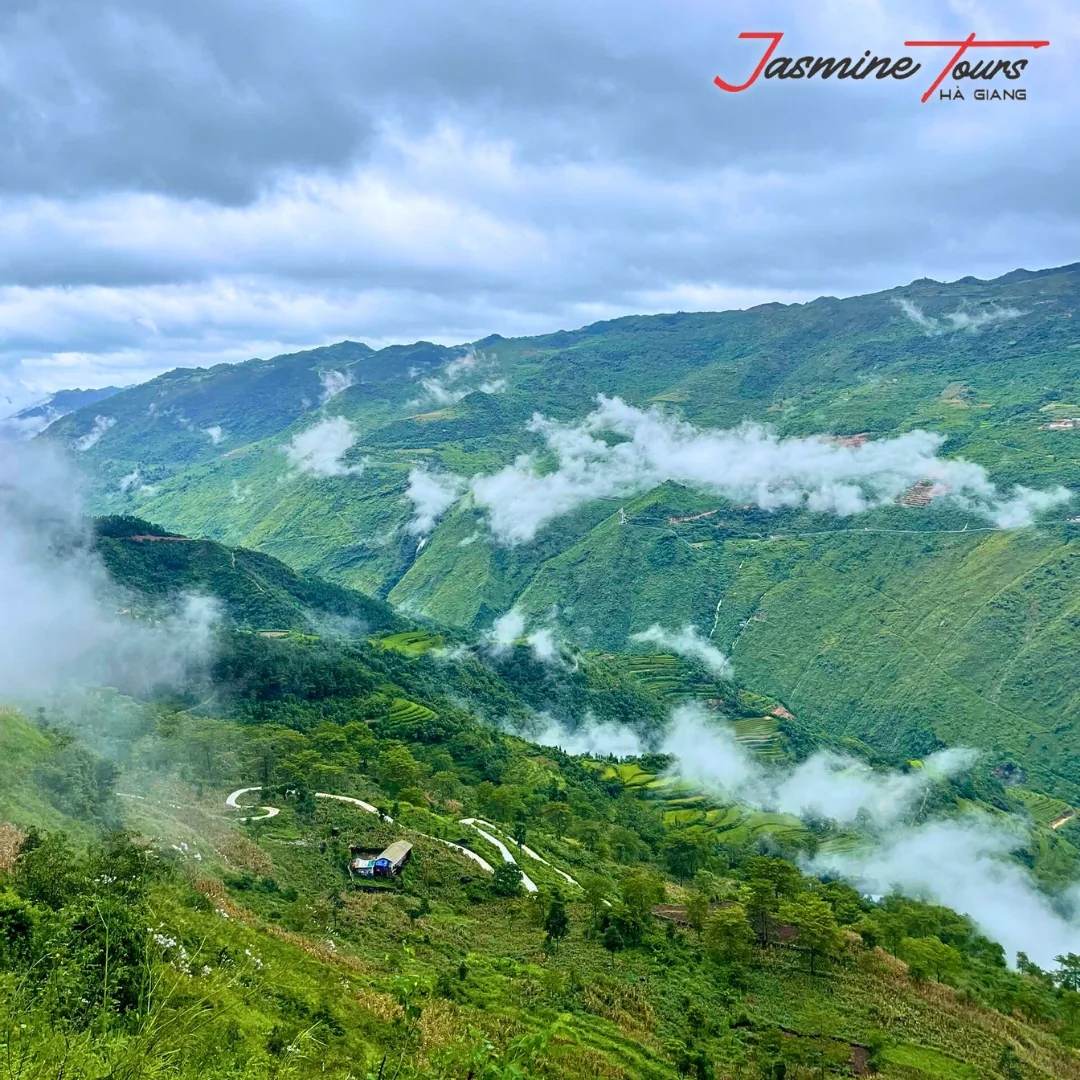
Almost every guide to this route tells you the same thing. Go between October and April, because that is the dry season.
It’s not wrong. It’s just not the question you were asking.
You didn’t come here to find out when it rains least. You came to find out when you will actually see the thing you are riding four days to look at. Those are different months, and the gap between them is the single most useful fact on this page.
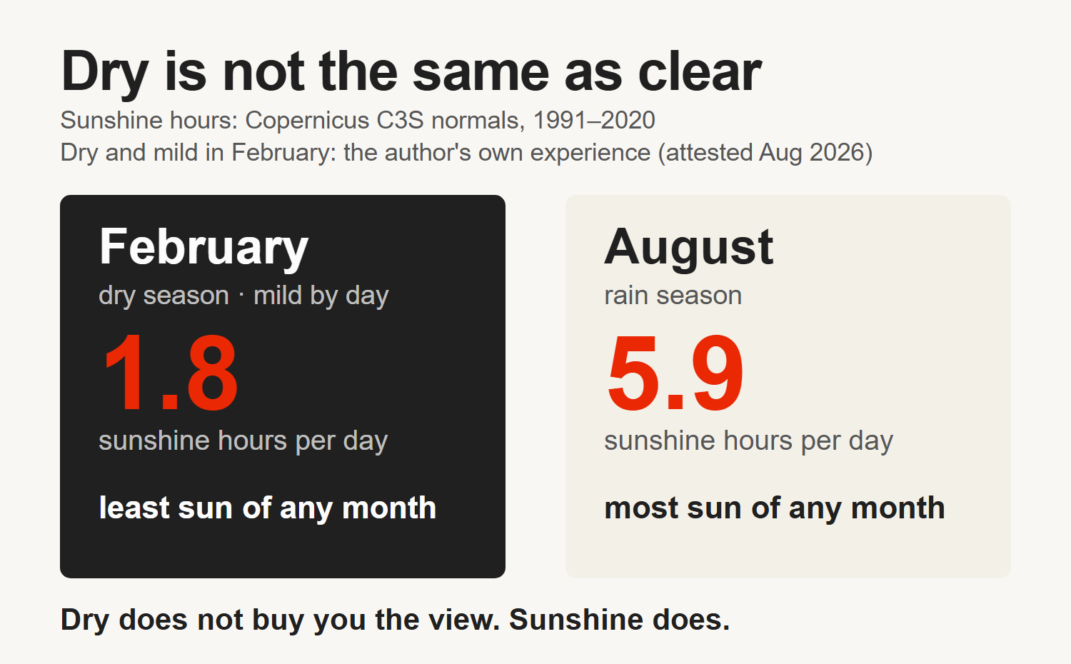
February is dry, and it is milder than most people expect. I have worked through enough of them to say that plainly. What the climate record adds is the part nobody quotes: February has the least sunshine of any month in the year, an average of 1.8 hours a day against 5.9 in August, on the 1991–2020 normals.
A dry road and no view. That’s what “dry season” buys you if nobody tells you the rest.
The short version
- Dry does not mean clear. February is dry and mild in the day — that part is my own experience of it — and it has the lowest sunshine of any month, about 1.8 hours a day. Cloud sits on the passes for weeks.
- The wettest months are also the brightest. July is the wettest month at about 379 mm across 19 rainy days, and August averages 5.9 sunshine hours a day — the most of any month.
- The north’s rain season runs June to September, and the UK Foreign Office warns that mudslides and landslides can block roads. That is a route-planning problem, not just a comfort problem.
- The terraces and the buckwheat flowers are autumn events, and they are the reason most people should aim at September to November rather than midwinter.
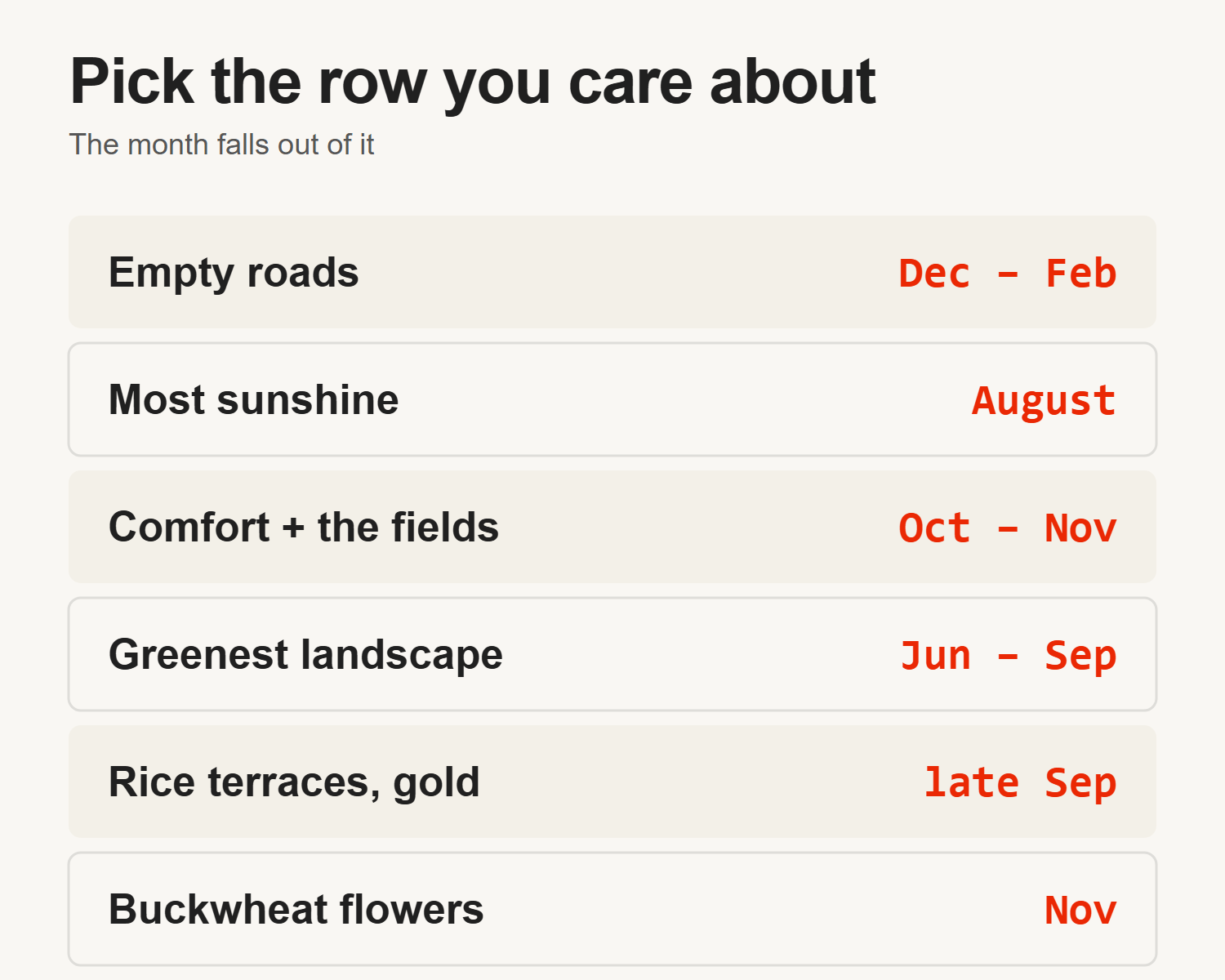
- There is no single best month. There is a best month for dry tarmac, a best month for visibility — that one is August — and a best month for the fields, and they are not the same month.
- There is a worst time, and it is a date rather than a season. Tết empties the route of beds, kitchens and rental shops for several days. It moves every year — 6 February 2027, 26 January 2028 — so check it before you book anything else.
What is the weather actually like up here?
Hà Giang city sits at the southern end of the region, and the loop climbs from there. Everything below is measured near the city; the passes are colder, wetter and far more prone to cloud than any of these numbers suggest.
The measured figures in this article come from the 1991–2020 climate normals published through Copernicus C3S for Hà Giang (accessed 3 August 2026). They are a thirty-year average, not a forecast. Any individual week can and will ignore them.
Daytime highs run from about 18°C in January to about 31°C in August. Night lows run from about 11°C in January to about 23°C in August. That January figure is the one people get wrong.
Riders pack for Vietnam and arrive to eleven degrees at dawn on a motorbike at altitude, which is a different eleven degrees than eleven degrees standing still.
Rain is heavily seasonal. July is the wettest month, averaging about 379 mm spread over about 19 rainy days. December is the driest, at about 88 mm over about 7 days. Humidity sits high year-round, around 86% in July.
Why is the dry season not the clear season?
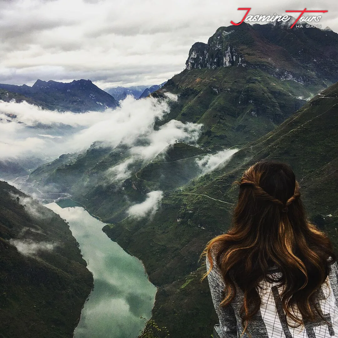
Because rain and cloud are not the same weather.
Rain needs a storm. Cloud only needs a cold, damp valley and a slope for the air to climb. Northern Vietnam’s winter delivers exactly that: little rainfall, high humidity, and cool air sitting in the valleys with nowhere to go.
You can see it in the sunshine figures, which almost nobody publishes next to the rainfall. February averages about 1.8 hours of sunshine a day.
August averages about 5.9. The driest stretch of the year is also the greyest stretch of the year, and it isn’t close.
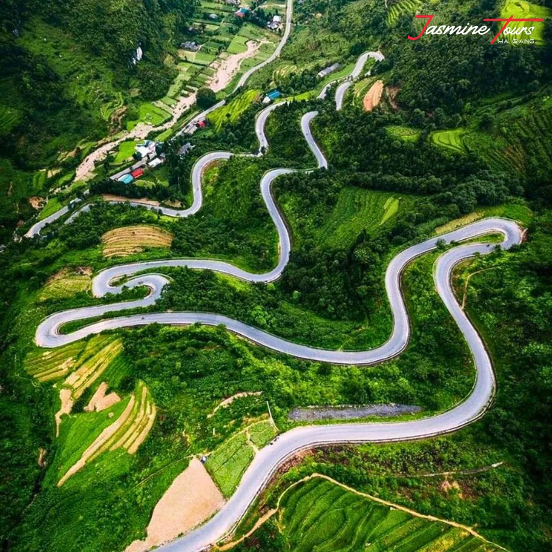
This matters more here than it would almost anywhere else, because the whole appeal of this route is vertical. Mã Pí Lèng is a road cut into the side of a gorge.
If the gorge is full of cloud, you are riding a nice piece of tarmac with a white wall on one side. The road is still there. The reason you came isn’t.
I’m not telling you to avoid winter. I’m telling you that if someone sells you January because “it’s dry”, they have answered a question about your raincoat and left the actual one alone.
Month by month, what you actually get
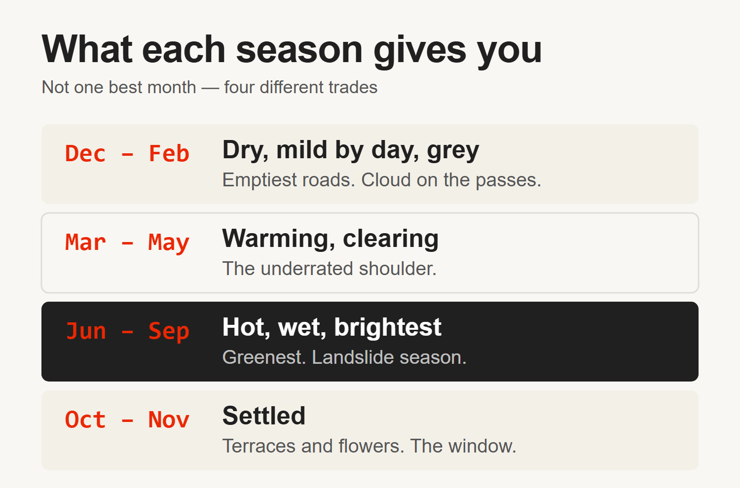
December to February — dry, mild by day, grey overhead. The days are milder than most people expect. The mornings are not: the cited normals give a January night low of about 11°C, and it is the dawn starts that catch riders out. Expect cloud on the high passes for days at a time.
Bring genuinely warm layers; the cold on a bike at eight in the morning is not the cold you felt in Hanoi.
The compensation is real, though. The roads are at their most reliable, the crowds thin out, and when a clear window does open in winter the air is cleaner than at any other time of year.
One exception sits inside this window and it is a big one. Around Tết, the lunar new year, homestays, rental shops and kitchens close for several days and domestic travel surges. “Emptiest roads of the year” stops being true for that stretch. Check the dates against your trip before you book anything in this window.
March to May — the shoulder that most people underrate. Warming up, still well short of the summer rain, and the cloud starts lifting off the passes. May is where the heat begins in earnest, with highs pushing toward the high twenties.
June to September — hot, wet, and bright. This is the north’s rain season. It’s also when the light is best and the landscape is at its greenest. The rain here isn’t usually all-day drizzle; it arrives hard, often in the afternoon, and moves on.
October to November — the window most people are actually looking for. The rain drops away, the temperature is comfortable, the terraces have turned, and the buckwheat is out.
Be clear about what that recommendation rests on, because it is not the sunshine argument I just made. I have no October or November sunshine figure from the same dataset, so I am not going to pretend this is the brightest window. It’s the comfortable one, and it’s the one with the fields and the flowers in it.
If you only get one shot at this route and you have no other constraints, this is where I would point you.
It’s worth saying that October and November both sit inside the cyclone season the Foreign Office describes, which runs to the end of November. The risk tails off rather than stopping on a date. I still think it is the pick, and you should know it is not a guarantee.
When should you not ride it?
Three windows, and only one of them is about weather.
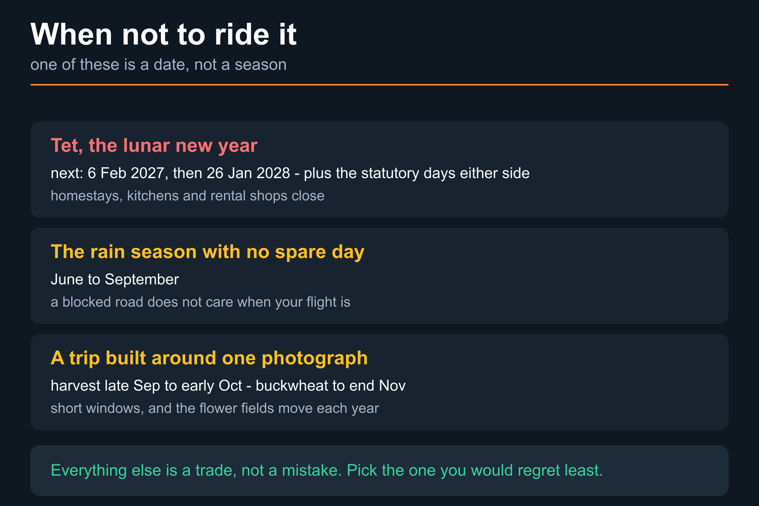
Tết. The lunar new year is the one stretch that removes the things the route runs on. Homestays close, kitchens close, rental shops close, and domestic travel surges into the same days. It moves every year: Wikipedia’s Tết calendar gives 17 February 2026, 6 February 2027 and 26 January 2028 (accessed 2 September 2026), and the statutory public holiday runs several days either side of the date itself. “The emptiest roads of the year” stops being true for that stretch, and so does “there will be somewhere to eat”. Check the date against your dates before you book anything else.
A rain-season trip with no spare day in it. June to September is a good time to ride — it is the greenest and the brightest the place gets — but it is a bad time to ride a schedule with no slack. The Foreign Office warning about mudslides is in the next section, and a blocked road does not care that your flight is on Thursday. If your itinerary cannot absorb losing half a day, move the trip rather than the plan.
A trip built entirely around one photograph. The gold terraces run late September into early October and the window is short. The buckwheat is later, and the fields move year to year because the flowers are planted rather than wild — both are in the section below. If the trip only works if you land on one of those, you have bought a lottery ticket rather than a holiday. Ride the month that suits the rest of your plan and treat the fields as the bonus they are.
So the sorting question is not “which month is best”. It is this: what would make you regret the trip — grey passes, a lost day, or a field you missed? Each one points at a different month, and the answer is yours rather than mine.
How far ahead should you book?
Far enough ahead to hold a bed, and the calendar sets that for you rather than we do.
Three dated anchors decide it, and all three are on this page already. The harvest window is late September into early October and is short. The buckwheat runs to the end of November, on Vietnam’s own tourism board’s wording. Tết is the date above. Those are the stretches when everybody wants the same nights, and they are known months in advance, which is exactly why they fill first.
The structural reason is worth understanding, because it is not a marketing line. The beds on this route are in villages. A homestay is a building with a room in it, not a hotel with a floor plan, and a single group of ten fills one. There is no capacity to release when demand spikes — the village does not build another one for October.
Outside those windows the pressure comes off quickly, and midwinter outside Tết is the easiest booking of the year. If your dates are flexible and you are not chasing the fields, you are not in a race.
One test you can run yourself before you commit to anything: ask whoever you are booking with which homestay you are sleeping in on each night, by name. An operator holding real beds can answer that in one message. An operator who intends to find them later cannot.
When is the road actually dangerous?
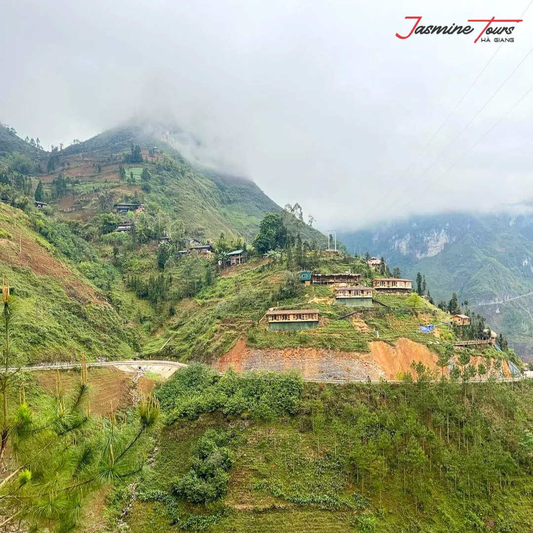
The honest answer is that weather changes the risk on this route more than it changes your comfort.
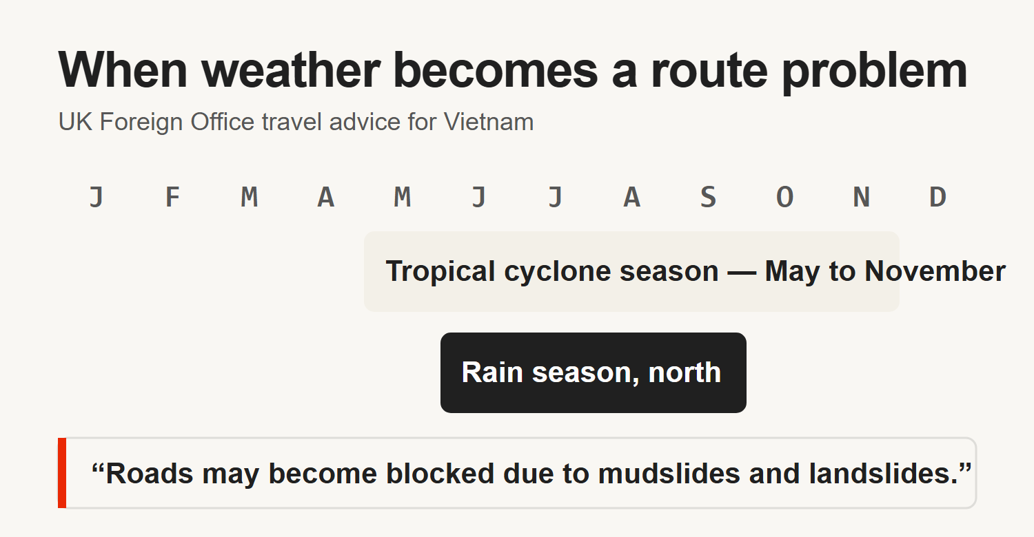
The UK Foreign Office puts the tropical cyclone season at May to November (accessed 3 August 2026), with the northern rain season running June to September, and warns plainly that “roads may become blocked due to mudslides and landslides.”
That is a primary institutional source rather than a travel blog, and these are the slopes the warning is about.

Two things follow from this, and both are route decisions rather than packing decisions.
First, a wet descent is the specific thing that hurts people here. Water sheets across the tarmac instead of draining off it, the surface turns slick, and the descents run long enough to cook a set of brakes.
I have written about where the risk on this loop actually concentrates in more detail, and wet descents are one of the three places it clusters.
Second, rain changes which way you can go home. The standard return from Du Già is along Đường Thượng, about 150 km, and I route riders that way for a reason: there are services on it, and if a bike breaks or somebody comes off, help can reach you.
When Đường Thượng floods, the alternatives get worse, not better. The short Minh Sơn road is about 70 km and carries loaded iron-ore trucks on a surface under repair. I only send people down it when three things are true at once: it is a four-day trip, Đường Thượng is flooded, and the rider will not take the long repeated way round through Yên Minh.
That is a weather decision that most itineraries never mention, because most itineraries were not written by anyone who has had to make it.
What should you actually pack?
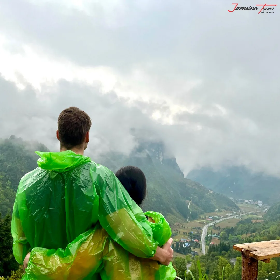
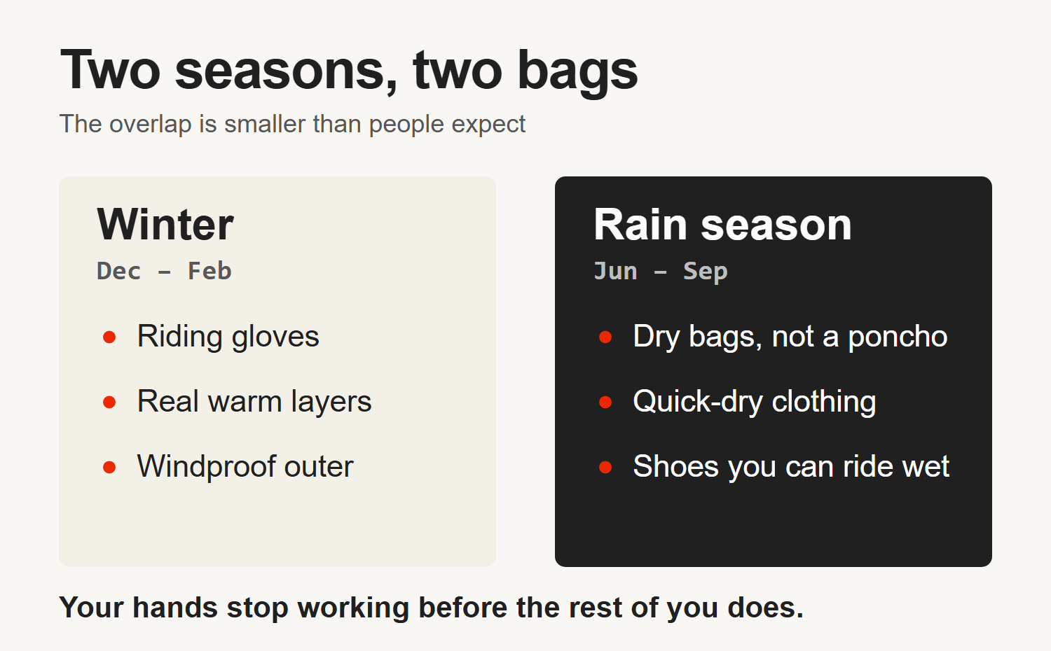
In the rain season, assume everything in your luggage gets wet unless you have personally waterproofed it. A plastic poncho over a soft bag isn’t waterproofing; it’s a sail. Dry bags, or bin liners inside your bag, cost almost nothing.
In winter, the mistake runs the other way. People pack for a tropical country and then spend four days cold. Riding gloves matter more than a jacket, because your hands are the part that stops working first and they are also the part steering.
One thing applies in every month: rain here rarely sets in for the day. When it comes down hard on a pass, waiting it out under a roof beats pushing through it, every time. An hour is the whole price.
When do the terraces and the flowers happen?
These are the two events that decide the month for most people, and neither of them is about rainfall.
The rice terraces at Hoàng Su Phì turn gold at harvest. They are not on the loop — they sit west of Hà Giang city, so seeing them is a separate ride and a separate day in the plan. Harvest falls in late September into early October and the window is short.
Miss it by three weeks and you get green terraces, which are still worth the ride but are not the photograph you had in mind.
The buckwheat flowers are later. Vietnam’s national tourism board describes the bloom as happening every autumn (accessed 3 August 2026), with the festival held around the Đồng Văn highlands and Mã Pí Lèng, and travellers able to join it “until the end of November”.
The flowers are planted, not wild, so the exact fields move year to year.
If you are timing a trip around either of these, book late September for the terraces or November for the flowers, and accept that you are trading some weather certainty for it.
Does the province name change matter for weather forecasts?
Yes, and it catches people out.
Hà Giang stopped being a province on 1 July 2025. It was merged into Tuyên Quang province under the national administrative reform, and the district tier was abolished at the same time.
The city, the passes, the villages and every place name in this article are unchanged. The province label is not.
Practically, that means newer maps, official notices and some weather services will file this area under Tuyên Quang.
If you search a forecast for “Hà Giang” and get something that looks wrong, that is usually why. Search the town you are actually sleeping in — Đồng Văn, Mèo Vạc, Yên Minh — rather than the region.
So when should you go?
I’m not going to give you one month, because the honest answer depends on what you would be annoyed to miss.
The sorting question is this: if the view were hidden for two of your four days, would the trip still have been worth it?
If the answer is yes — you are here for the riding, the villages, the food and the evenings — then winter is genuinely fine, and you get the emptiest roads of the year.
If the answer is no, and you are here for the gorge and the passes, then avoid midwinter. October and November are worth rearranging for on comfort and the fields. If it is pure sunshine hours you are optimising, that is August, and I have said what August costs you in rain.
If you are coming in the rain season because that is when your leave falls, come anyway.
Build a spare half-day into the plan, start early, and accept that one afternoon will be spent under a roof watching it come down. That’s a fair trade for the greenest the place ever looks.
Whatever month you land on, the trips we run are the same shape: about 450 km all in with the Lũng Cú spur, and about eight hours a day door to door once you count stops, photographs and lunch.
The weather changes what those eight hours feel like. It doesn’t change the arithmetic.
Common questions
What is the best month to ride the Ha Giang Loop?
October and November suit most people: the rain has dropped off, the temperature is comfortable, and both the rice terraces and the buckwheat flowers fall in that window. If you care more about empty roads than views, December to February works.
Is the Ha Giang Loop worth doing in the rainy season?
Yes, with planning. June to September is the north’s rain season and also the brightest part of the year, with August averaging about 5.9 sunshine hours a day.
Rain tends to arrive hard and pass rather than drizzle all day. Build slack into the itinerary and expect at least one afternoon stopped.
How cold does Ha Giang get?
Night lows average about 11°C in January near Hà Giang city on the 1991–2020 normals, and the passes are colder than the city. On a motorbike at altitude at dawn that is cold enough to need real layers and riding gloves.
Why is it foggy in Ha Giang when it is not raining?
Because cloud and rain are different things. Winter here is dry but humid, with cool air sitting in the valleys, which produces low cloud on the passes without producing rainfall. February averages the least sunshine of the year at about 1.8 hours a day.
When do the Ha Giang rice terraces turn gold?
Harvest at Hoàng Su Phì falls in late September into early October and the window is short. Note that Hoàng Su Phì is not on the loop — it sits west of Hà Giang city and needs its own day. A few weeks either side gives you green terraces rather than gold ones.
What is the worst time to do the Ha Giang Loop?
Tết, the lunar new year — 6 February 2027 and 26 January 2028, with a statutory holiday either side. Homestays, kitchens and rental shops close and domestic travel surges. After that, the rain season if your itinerary has no spare half-day in it.
How far in advance should I book the Ha Giang Loop?
The calendar decides it. Late September to early October for the harvest, November for the buckwheat, and the days around Tết are when everybody wants the same village beds, and a homestay cannot add rooms for a busy month. Outside those windows the pressure comes off quickly, and midwinter away from Tết is the easiest booking of the year.
Do landslides close the Ha Giang Loop?
They can block sections. The UK Foreign Office warns that roads in Vietnam may be blocked by mudslides and landslides, and the risk concentrates in the June to September rain season.
It is one reason, but it is not the main one. I route riders home along Đường Thượng because if a bike breaks or somebody comes off, help can reach you there.
A note on this page. Every climate figure here that carries a number comes from the 1991–2020 Copernicus C3S normals for Hà Giang and is linked. The Tết dates come from Wikipedia’s Tết article, read 2 September 2026; they are a calendar fact rather than a climate one, and the statutory holiday around them is set by the government each year rather than fixed. Where I say February is dry and mild, that is my own experience of it and not the dataset — the record does not publish a February rainfall figure. The road and route judgements are my own, from working these roads.
The photographs were taken on our own trips — our logo is visible on each one — and each caption carries its own date.